Essex UK location map.svg
From Warlike

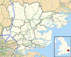
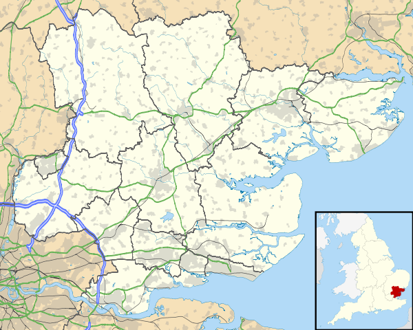
Size of this PNG preview of this SVG file: 749 × 600 pixels. Other resolutions: 300 × 240 pixels | 600 × 480 pixels | 959 × 768 pixels | 1,279 × 1,024 pixels | 2,558 × 2,048 pixels | 1,425 × 1,141 pixels.
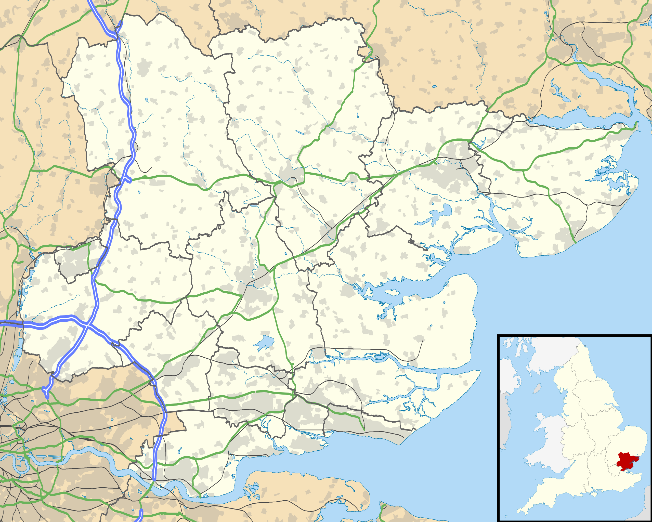
Original file (SVG file, nominally 1,425 × 1,141 pixels, file size: 2.52 MB)
| Description |
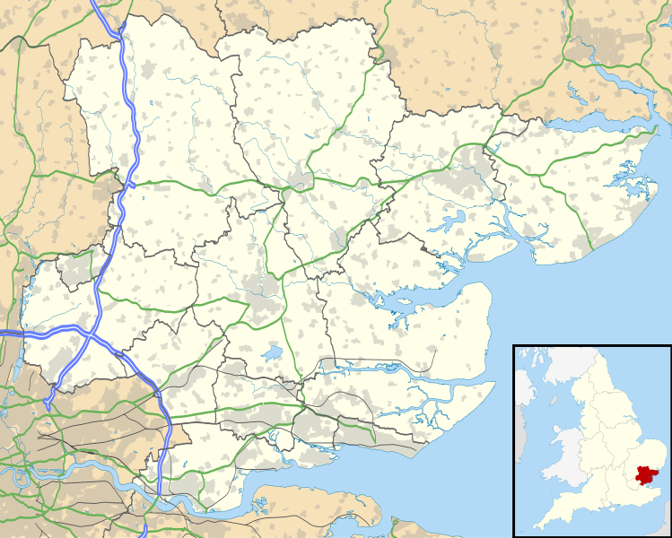
Map of Essex, UK with the following information shown:
Equirectangular map projection on WGS 84 datum, with N/S stretched 160% Geographic limits:
|
| Date | |
| Source |
|
| Author | Nilfanion, created using Ordnance Survey data |
| Permission (Reusing this file) |
This file is licensed under the Creative Commons Attribution-Share Alike 3.0 Unported licence. Attribution: Contains Ordnance Survey data © Crown copyright and database right
|
| Other versions | File:Essex UK district map (blank).svg - Blank map |
.svg)
File history
Click on a date/time to view the file as it appeared at that time.
| Date/Time | Thumbnail | Dimensions | User | Comment | |
|---|---|---|---|---|---|
| current | 18:52, 26 September 2010 | | 1,425 × 1,141 (2.52 MB) | wikimediacommons>Nilfanion | {{Information |Description=Map of Essex, UK with the following information shown: *Administrative borders *Coastline, lakes and rivers *Roads and railways *Urban areas Equirectangular map projection on WGS 84 datum, with N/S stretched 160% G |
File usage
The following 39 pages use this file:
- HMS Ganges Museum
- Bradwell Bay Military & Science Museum
- Hedingham Castle
- Martello Tower B
- Martello Tower G
- Martello Tower H
- Martello Tower I
- Martello Tower J
- Martello Tower O
- Martello Tower N
- Landguard Anti-Aircraft Operations Room
- Colchester Royal Observer Corps Group Headquarters
- Brightlingsea Urban District Council Control
- Maldon District Council Emergency Centre
- Harwich Radio Direction Finding Tower
- Martello Tower L
- Martello Tower M
- Martello tower D
- Martello tower E
- Martello tower F
- Heavy Anti-aircraft gunsite 350m north east of Little Oakley Hall
- Martello tower A and associated battery, Stone Point
- Colchester Castle
- Mersea Fort
- Martello Tower K
- Martello Tower A
- Mistley Anti-Aircraft Operations Room
- Broomhill Library
- Massacre of the Ninth Legion
- Bath Side Battery
- Beacon Hill Battery
- Clifford Road Air Raid Shelter
- Combined Military Services Museum
- Harwich Redoubt
- Jaywick Martello Tower
- Landguard Fort
- Shotley Battery
- Boxted Airfield Museum
- Ridgewell Airfield Commemorative Museum