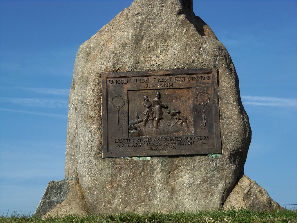
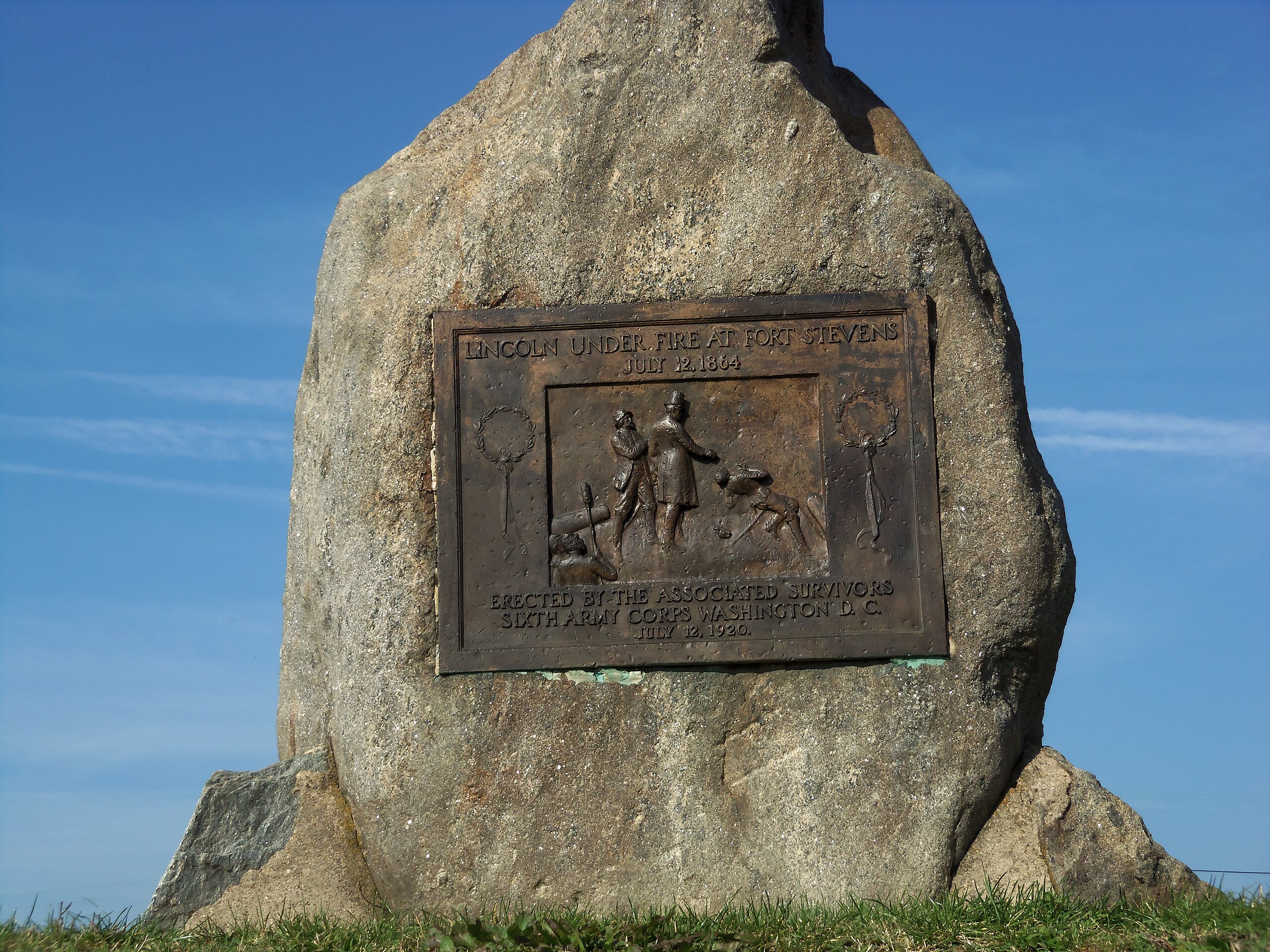
Fort Stevens Park DC Lincoln marker.JPG
From Warlike

Size of this preview: 800 × 600 pixels. Other resolutions: 320 × 240 pixels | 640 × 480 pixels | 1,024 × 768 pixels | 1,280 × 960 pixels | 2,560 × 1,920 pixels | 4,608 × 3,456 pixels.
Original file (4,608 × 3,456 pixels, file size: 4.42 MB, MIME type: image/jpeg)
Summary
| Description |
English: Fort Stevens Park is the location of a Civil War era fortification on the north side of Washington, D.C. in the Brightwood neighborhood. It was part of the Civil War defenses of the District of Columbia and named for Brig. Gen. Isaac Ingalls Stevens who was killed at the Battle of Chantilly (Fair Oaks), Virginia, on September 1, 1862. The fort was the only place in the District of Columbia that the Confederate Army attacked, and the only the place a sitting US President was fired upon in an armed conflict. General Jubal A. Early lead 20,000 Confederates on July 11–12, 1864. The current fortification is a recreation built by the Civilian Conservation Corps in 1937. |
| Date | |
| Source | Own work |
| Author | Farragutful |
| Camera location | | View this and other nearby images on: OpenStreetMap |
|---|
Licensing
I, the copyright holder of this work, hereby publish it under the following licence:
This file is licensed under the Creative Commons Attribution-Share Alike 3.0 Unported licence.
- You are free:
- to share – to copy, distribute and transmit the work
- to remix – to adapt the work
- Under the following conditions:
- attribution – You must give appropriate credit, provide a link to the licence, and indicate if changes were made. You may do so in any reasonable manner, but not in any way that suggests the licensor endorses you or your use.
- share alike – If you remix, transform, or build upon the material, you must distribute your contributions under the same or compatible licence as the original.
File history
Click on a date/time to view the file as it appeared at that time.
| Date/Time | Thumbnail | Dimensions | User | Comment | |
|---|---|---|---|---|---|
| current | 20:55, 23 October 2012 | | 4,608 × 3,456 (4.42 MB) | wikimediacommons>Farragutful | User created page with UploadWizard |
File usage
There are no pages that use this file.