Rouffach TourSorcières d.JPG
From Warlike
Original file (2,736 × 3,648 pixels, file size: 1.98 MB, MIME type: image/jpeg)
This file is from Wikimedia Commons and may be used by other projects. The description on its file description page there is shown below.
Summary
| DescriptionRouffach TourSorcières d.JPG |
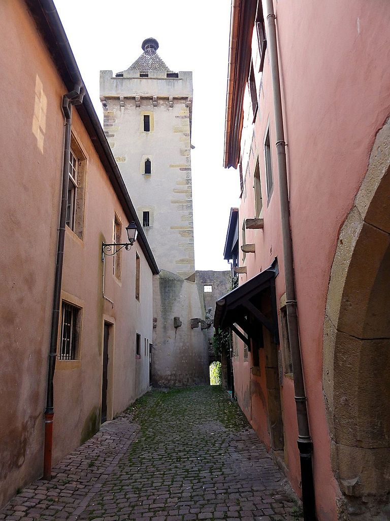
Français : Alsace, Haut-Rhin, Rouffach, Tour des Sorcières (XIVe), place de la République.
|
||
| Date | |||
| Source | Own work | ||
| Author | © Ralph Hammann - Wikimedia Commons |
| Camera location | 47° 57′ 20.68″ N, 7° 17′ 58.05″ E | View this and other nearby images on: OpenStreetMap |
|---|
Licensing
- You are free:
- to share – to copy, distribute and transmit the work
- to remix – to adapt the work
- Under the following conditions:
- attribution – You must give appropriate credit, provide a link to the licence, and indicate if changes were made. You may do so in any reasonable manner, but not in any way that suggests the licensor endorses you or your use.
- share alike – If you remix, transform, or build upon the material, you must distribute your contributions under the same or compatible licence as the original.
Captions
Items portrayed in this file
depicts
some value
10 September 2014
47°57'20.682"N, 7°17'58.049"E
125
0.005 second
3.5
4.25 millimetre
2,077,344 byte
3,648 pixel
2,736 pixel
image/jpeg
a6a9a6642d864d3c4ad6b1db55ed52b7c4418755
File history
Click on a date/time to view the file as it appeared at that time.
| Date/Time | Thumbnail | Dimensions | User | Comment | |
|---|---|---|---|---|---|
| current | 09:41, 3 December 2014 | 2,736 × 3,648 (1.98 MB) | wikimediacommons>Ralph Hammann | User created page with UploadWizard |
File usage
There are no pages that use this file.
Metadata
This file contains additional information, probably added from the digital camera or scanner used to create or digitise it.
If the file has been modified from its original state, some details may not fully reflect the modified file.
| Camera manufacturer | SONY |
|---|---|
| Camera model | DSC-HX5V |
| Exposure time | 1/200 sec (0.005) |
| F Number | f/3.5 |
| ISO speed rating | 125 |
| Date and time of data generation | 10:06, 10 September 2014 |
| Lens focal length | 4.25 mm |
| Latitude | 47° 57′ 20.68″ N |
| Longitude | 7° 17′ 58.05″ E |
| Altitude | 231.9 metres above sea level |
| Orientation | Normal |
| Horizontal resolution | 72 dpi |
| Vertical resolution | 72 dpi |
| Software used | Microsoft Windows Photo Viewer 6.1.7600.16385 |
| File change date and time | 15:58, 1 December 2014 |
| Y and C positioning | Co-sited |
| Exposure Program | Normal program |
| Exif version | 2.21 |
| Date and time of digitising | 10:06, 10 September 2014 |
| Meaning of each component |
|
| Image compression mode | 4 |
| APEX exposure bias | 0 |
| Maximum land aperture | 3.625 APEX (f/3.51) |
| Metering mode | Pattern |
| Light source | Unknown |
| Flash | Flash did not fire, compulsory flash suppression |
| Supported Flashpix version | 1 |
| Colour space | sRGB |
| File source | Digital still camera |
| Scene type | A directly photographed image |
| Custom image processing | Normal process |
| Exposure mode | Auto exposure |
| White balance | Auto white balance |
| Scene capture type | Standard |
| Contrast | Normal |
| Saturation | Normal |
| Sharpness | Normal |
| GPS time (atomic clock) | 08:03:39.23 |
| Receiver status | Measurement interoperability |
| Measurement mode | 3-dimensional measurement |
| Speed unit | Kilometres per hour |
| Speed of GPS receiver | 1.1 |
| Reference for direction of movement | True direction |
| Direction of movement | 184.36 |
| Reference for direction of image | Magnetic direction |
| Direction of image | 214.75 |
| Geodetic survey data used | WGS-84 |
| GPS date | 10 September 2014 |
| GPS differential correction | 0 |
| GPS tag version | 2.2.0.0 |