Vista del área histórica del Astillero de Puerto Real.png
From Warlike
Size of this preview: 800 × 570 pixels. Other resolutions: 320 × 228 pixels | 640 × 456 pixels | 1,024 × 729 pixels | 1,280 × 911 pixels | 2,017 × 1,436 pixels.
Original file (2,017 × 1,436 pixels, file size: 1,013 KB, MIME type: image/png)
Summary
| Description |
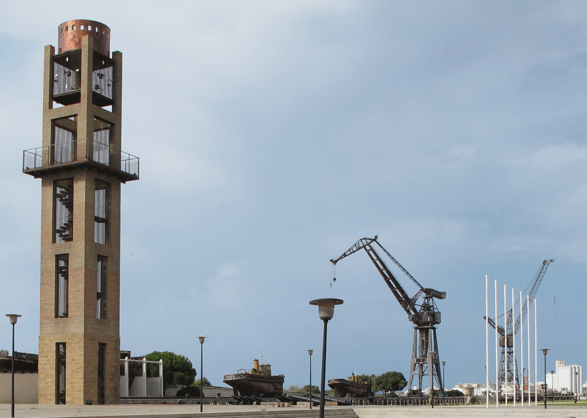
Español: Vista del área histórica del Astillero de Navantia en Puerto Real, donde podemos observar barcos e infraestructura naval histórica. |
| Date | |
| Source | Own work |
| Author | Ce Ele 415 |
| Camera location | | View this and other nearby images on: OpenStreetMap |
|---|
Licensing
I, the copyright holder of this work, hereby publish it under the following licence:
This file is licensed under the Creative Commons Attribution-Share Alike 4.0 International licence.
- You are free:
- to share – to copy, distribute and transmit the work
- to remix – to adapt the work
- Under the following conditions:
- attribution – You must give appropriate credit, provide a link to the licence, and indicate if changes were made. You may do so in any reasonable manner, but not in any way that suggests the licensor endorses you or your use.
- share alike – If you remix, transform, or build upon the material, you must distribute your contributions under the same or compatible licence as the original.
File history
Click on a date/time to view the file as it appeared at that time.
| Date/Time | Thumbnail | Dimensions | User | Comment | |
|---|---|---|---|---|---|
| current | 10:22, 15 October 2016 | | 2,017 × 1,436 (1,013 KB) | wikimediacommons>Ce Ele 415 | User created page with UploadWizard |
File usage
The following page uses this file: